Miles 78–84, Burgh-by-Sands to Bowness-on-Solway
It rained fairly heavily the night before and my tent was again waterlogged and weighty. The only food I had on me was a Snickers bar, so my breakfast consisted of that and some water that I had procured from Helen the Bartender the previous night.
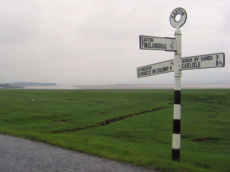
The walk through and out of Burgh-by-Sands was along the main road to and from Carlisle, so I walked the opposite direction from hurried commuters speeding their way to work. A mile out of Burgh I crossed a cattle grate and was confronted with coast guard warnings of potential high-tide road flooding. The land here is essentially a tidal flat of Solway Bay which separates England from Scotland. The skies were overcast, but a faint outline of Scotland could be seen through the clouds across the bay.
Since this area is prone to high tide flooding an earthen seawall has been built and the path follows the apex of this wall, which I shared with dozens of sheep and cattle. The tide was out so there was no fear of flooding, just many piles of cow and sheep dung to dodge.
At the end of the seawall is the town of Drumbrugh, where some locals have set up another self-service refreshment shed (this one with a much-needed bathroom). Since I'd only eaten a candy bar thus far, this was a most welcome sight. I had a snack and was joined by a neighbor who was dealing with an "ice cream emergency." As she restocked the ice cream we talked about the tourist economy in the town of Drumbrugh, which she says is being badly hurt by the "fuel crisis". People need to walk more.
The final mile and a half of the walk was especially scenic. The path narrows as it skirts the shores of Solway Bay, winding through trees and colorful brush. All was quiet except for the lapping of small waves and the occasional grunt from the cows chomping the pathside brush.
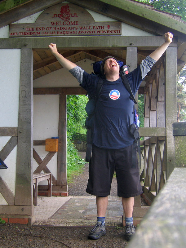
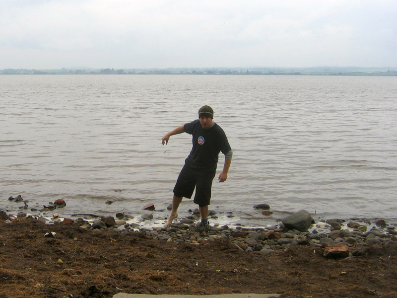
I strode into the village of Bowness-on-Solway at Noon, full of energy and excitement over what I'd accomplished. I stopped at the shelter signifying THE END of the walk, and dipped my toe into the Irish Sea as Liam's dad, Malcolm, had suggested I do days earlier.
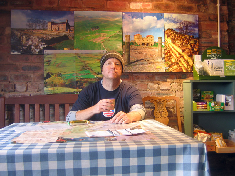
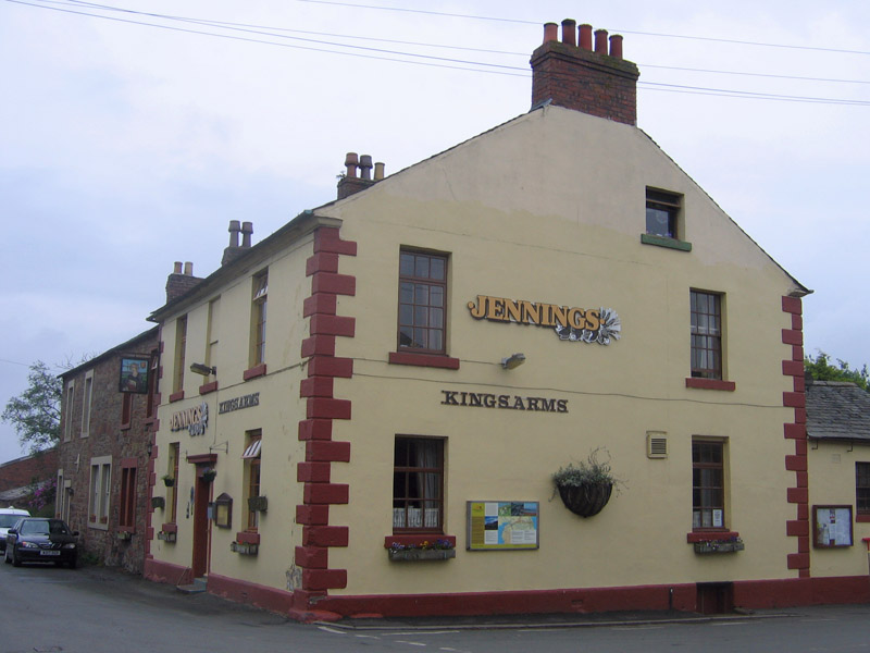
I was ready to celebrate with a hearty lunch and a pint at Bowness-on-Solway's only pub, the Kings Arms. I walked through the quiet village and found the pub, open daily from 4pm to 11pm. Ugh!
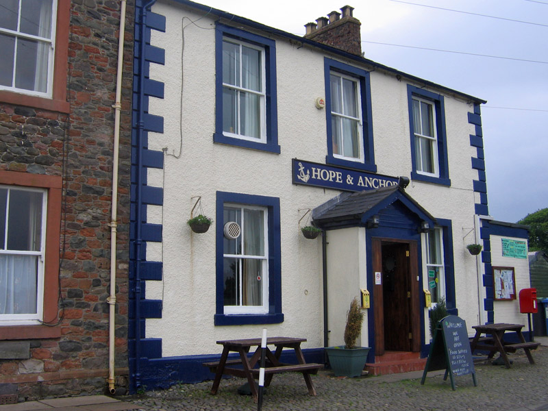
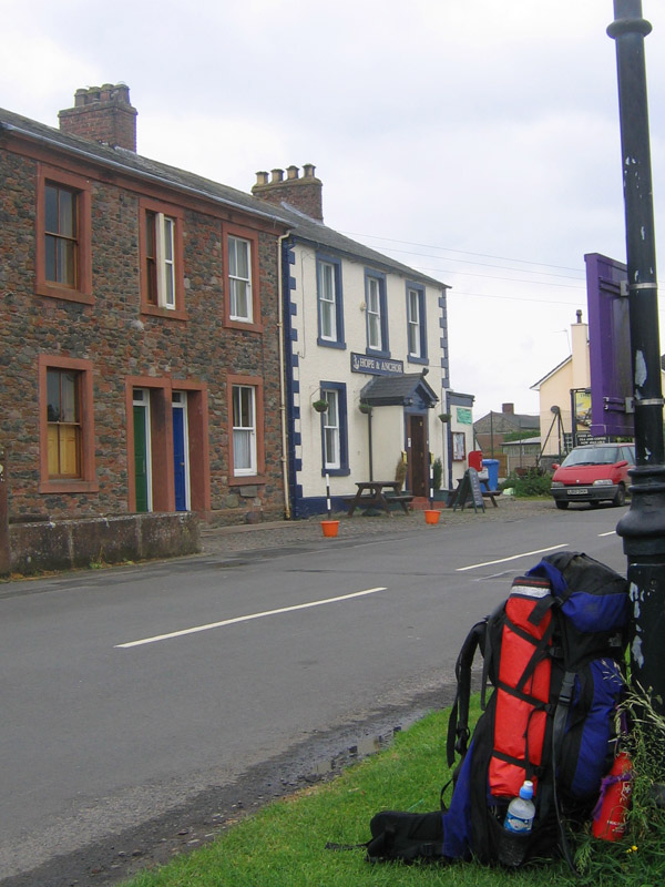
I walked back out of Bowness-on-Solway toward the village of Port Carlisle which I had passed about 30 minutes earlier. Along the path had been numerous signs advertising that the Hope & Anchor pub in Port Carlisle was "OPEN ALL DAY".
As I walked east for the first time in a week it suddenly occurred to me that I was still walking the path, but now in the opposite direction. Maybe I should keep going and do it one more time!
I mulled that over at the Hope & Anchor pub, where I ate a big lunch with a couple of pints. I talked with an old man at the bar, telling him that I had just finished walking Hadrian's Wall. "Ah," he lectured, "I've never done that. I'm too old now and when I was your age we didn't have free time. We actually had to WORK!"
I decided that the local bus and not my feet was the best vehicle to get me back into the city of Carlisle. The bus stop sits directly across the street from the pub, so I bid the old man, the town of Port Carlisle and the Hadrian's Wall Trail a fond farewell.
As the bus careened down the narrow roads, twisting through the villages I had already visited, I thought, "Veni, vidi, vici." I came, I saw, I conquered.
THE END.